
Construction guide
Houston Site Drainage and Detention Planning Guide
Plan Greater Houston sites around grading, detention, drainage paths, utilities, paving, and field sequencing before civil work starts.
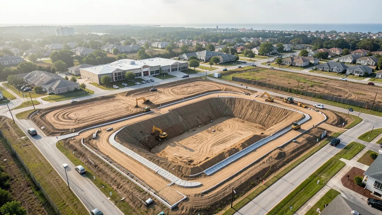
Site drainage is easy to treat as a civil-engineering line item that can be resolved after the building footprint is established. On many Greater Houston projects, that sequence creates unnecessary pressure. Finished-floor elevations, paving grades, storm inlets, detention volume, utility crossings, driveways, landscape areas, and the location of the final outfall all compete for the same site. A drainage decision made late can reduce usable land, change paving quantities, force utility redesign, or create a difficult construction sequence.
Houston Public Works has repeatedly updated stormwater and detention criteria. A 2025 supplement to Chapter 9 of the Infrastructure Design Manual revised and clarified stormwater design and detention requirements, including how the receiving jurisdiction affects design criteria and how certain redevelopment conditions are treated. Earlier revisions aligned Houston detention standards more closely with Harris County requirements. Those are regulatory facts. The practical construction lesson is broader: owners should reserve space, elevation, and schedule for drainage before the project becomes expensive to rearrange.
This guide is not a substitute for a civil engineer or the requirements that apply to a specific parcel. It is an owner-focused framework for asking the right questions early enough to protect the project.
Start with the site’s water path before fixing the plan
The first useful drainage question is not “How large is the pond?” It is “Where does water go from every major part of this site?”
A civil team should be able to explain the existing and proposed drainage path in plain language. That includes high points, low points, overland flow, storm inlets, pipes, channels or swales, detention storage, and the receiving system. It should also identify neighboring properties, public rights-of-way, existing drainage features, and any known easements that constrain the solution.
For an owner, this early map matters because the building and the drainage system are not independent. A floor elevation that works architecturally may create a difficult ramp or parking grade. A driveway placed for leasing or circulation may cross the natural low point. A detention area added after the site plan is mostly fixed may consume land that had been assigned to parking, landscaping, loading, or future expansion.
The best time to test those conflicts is before the footprint, parking count, and utility routes are treated as final. Ask the civil engineer to identify the drainage concept, the likely outfall, the preliminary detention approach, and the elevation assumptions that the rest of the design team should protect.
Reserve detention and grading space as a development constraint
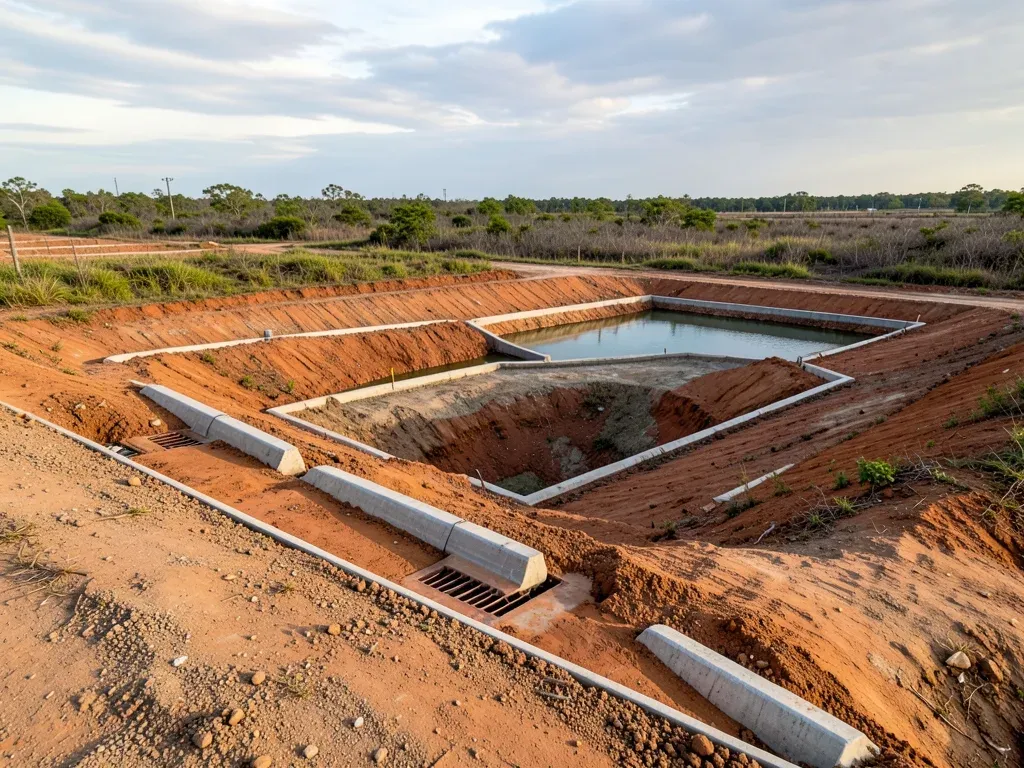
Detention is not simply a calculation that can be tucked into leftover land. Houston Public Works’ 2025 Chapter 9 supplement changed and clarified detention requirements, including criteria related to redevelopment, existing impervious cover, legacy drainage plans, and when detention may or may not be triggered. The exact rule for a project depends on jurisdiction, scope, existing conditions, and the engineer’s application of current standards.
From an owner’s perspective, the safe approach is to treat detention as a site-yield variable until the design team confirms otherwise. If a project may need surface detention, underground storage, or another accepted approach, the space and cost implications should appear in feasibility work rather than in a late permit response.
That does not mean maximizing detention area before the engineering is done. It means carrying a realistic allowance and identifying the decisions that can change it. Redevelopment projects deserve special attention because existing pavement or structures can affect how the engineer evaluates impervious cover and the proposed drainage condition. A site that looks “already developed” is not automatically simple.
Grading deserves the same discipline. Small elevation changes propagate through the project. They affect curb reveals, door thresholds, accessible routes, loading areas, retaining conditions, utility cover, and the amount of soil that must be cut, imported, exported, or stabilized. Before pricing earthwork, owners should ask whether the grading plan is sufficiently developed for the quantity assumptions being used.
Coordinate drainage with utilities, paving, and building elevations
Civil systems occupy three-dimensional space. A storm pipe needs slope and cover. Sanitary sewer may have its own gravity requirements. Water, electrical, communications, and other utilities cross the same corridors. Paving elevations must deliver water to inlets without creating abrupt transitions at entrances or loading areas.
This is where early coordination produces practical value. The design team should compare storm pipe inverts, utility crossings, finished-floor elevation, curb lines, pavement slopes, and accessible routes before construction starts. A conflict discovered in a coordination review is a design issue. The same conflict discovered after trenching begins is a field problem with labor, equipment, and schedule consequences.
Owners do not need to direct the engineering. They do need visibility into unresolved interfaces. Useful questions include: Are the major storm runs and outfalls coordinated with other utilities? Are deep crossings identified? Do loading docks, ramps, and driveways work with the proposed grades? Are retaining walls or significant grade transitions likely? Does the building entry strategy depend on site elevations that are still changing?
The answers should become part of the project risk list rather than disappearing inside discipline-specific drawings.
Plan construction sequencing around temporary and permanent drainage
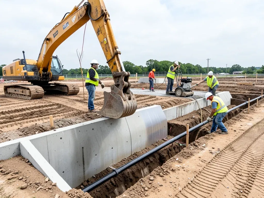
A final drainage design does not automatically provide a workable construction sequence. During earthwork, the permanent inlets, pipes, paving, and detention features may be incomplete while the site is already exposed to Houston rain.
The project team should therefore connect civil sequencing to temporary water management. That includes deciding how rough grades will drain, when major storm lines will be installed, how excavations will be protected, when detention areas can function, and how access roads will remain usable. This is separate from the project’s stormwater-pollution-control obligations. Erosion and sediment controls address water quality and disturbed soil; drainage sequencing addresses where water physically moves while the permanent system is being built. The two plans should support each other, but they are not the same task.
Rain can also change productivity. Saturated subgrade may delay proof rolling, stabilization, paving, or utility work. An owner schedule that assumes continuous earthwork through wet periods without recovery logic may look precise but still be fragile. The civil contractor and project team should identify weather-sensitive activities and the conditions needed before work resumes.
Field changes should be controlled carefully. Moving an inlet, changing a curb line, adjusting a pad elevation, or substituting a utility route can affect drainage beyond the immediate work area. The engineer of record should be involved when a change alters the design assumptions.
Verify the system before finishes hide the evidence
Drainage problems are easiest to understand while grades, structures, and pipe runs are visible. As the project advances, landscaping, paving, fences, and occupied use can make corrections more disruptive.
Before turnover, the team should verify that constructed grades direct water as intended, drainage structures are at the correct elevations, outfalls are unobstructed, and detention features are complete and accessible for their intended function. After significant rain, visual observations can be useful for identifying unexpected ponding or flow paths, although they do not replace engineering inspection or required testing.
Owners should also confirm what drainage-related records belong in closeout. Depending on the project, that may include record drawings, inspection documentation, approvals, operation information for pumps or controlled outlets, and maintenance responsibilities for private drainage facilities.
A clean closeout matters because drainage continues after the contractor leaves. Inlets can collect debris, vegetation can change swales, and detention areas may require routine upkeep. The party responsible for operating the property should understand which features are functional infrastructure rather than decorative site elements.
Use a short owner checklist before authorizing civil work
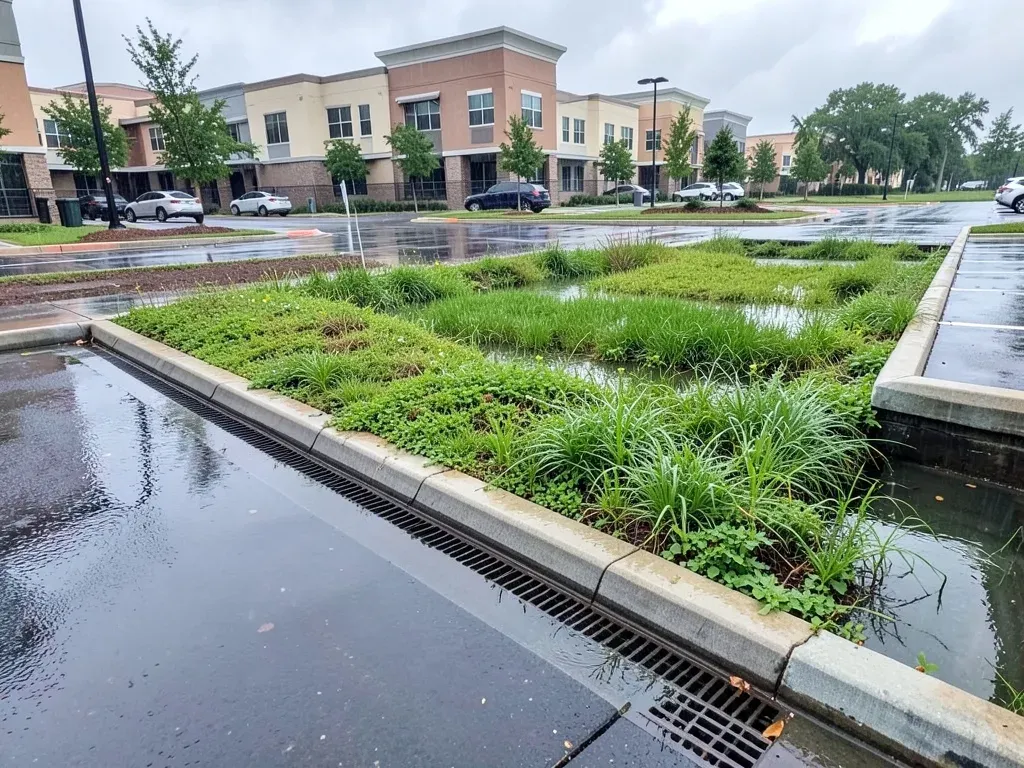
Before earthwork begins, an owner should be able to answer a concise set of questions:
- Has the civil engineer confirmed the applicable drainage and detention criteria for the jurisdiction and submission date?
- Is the proposed outfall identified and feasible?
- Is detention space or another approved storage approach reflected in the site plan and budget?
- Are finished-floor elevations, paving grades, accessible routes, and major utility crossings coordinated?
- Are cut, fill, stabilization, and export or import assumptions based on a sufficiently developed grading plan?
- Does the construction sequence provide a workable drainage path before the permanent system is complete?
- Are field changes that could alter drainage routed back through the design team?
- Is drainage verification included in pre-paving, pre-landscape, and closeout reviews?
The goal is not to eliminate every unknown before construction. It is to prevent drainage from becoming a late discovery. Greater Houston’s flat terrain, intense rainfall, layered jurisdictions, and ongoing development make site water management a front-end planning issue. When drainage, detention, utilities, and grading are coordinated early, the owner has a clearer picture of site yield, civil cost, permit risk, and construction sequence before those decisions become expensive to change.